Springtime on the Stowe Rec Path
A beautiful country scene from my walk through Stowe, Vermont.
There is a pathway that winds along, next to a river through the picturesque Vermont mountain town of Stowe. Located on the slopes of Vermont's tallest mountain, Mount Mansfield, this path is perfect for bikers, hikers, strollers, skaters, and even horse back riders. But today, I had a different purpose, I was a photographer. I wanted to get a feel for the Stowe Rec Path, and capture all the Spring vibe along the way.
The path winds for a little over five miles, from an old covered bridge, to the historic town of Stowe. The entire time you are next to cascading West Branch River, until it meets the Little River just in back of town. Corn farms, red barns, and green mountains provide a wonderful cozy feeling as you walk along. And several restaurants are located just off the path if you feel like stopping for a quick micro-brew of slice of pizza. Today that grass was brilliantly green, after finally seeing the sun after many winter months. Yellow daffodils popped up amongst the green, and small green leaves have started showing on all the trees.
I was a little worried about the dark clouds, but they never turned into rain while I was out. They did provide a wonderful backdrop to all my landscape shots of the path. I hope you enjoy the photos as much as I enjoyed taking them.
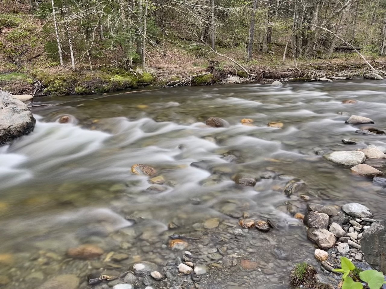
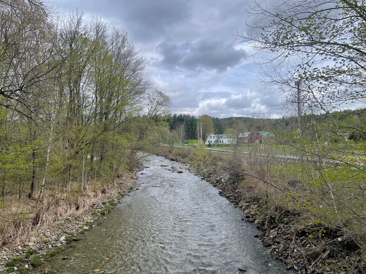
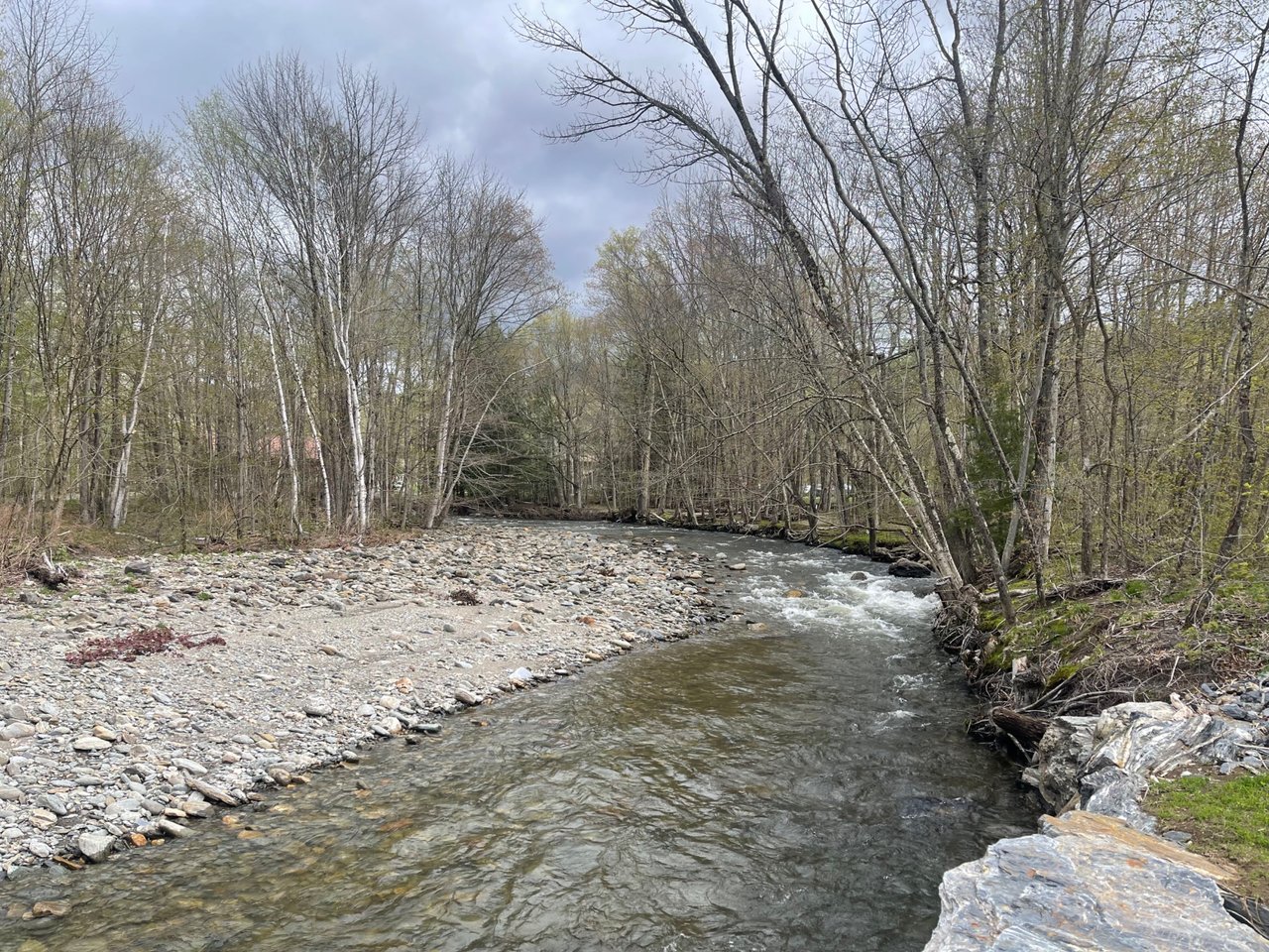
The West Branch River, cascading down out of the mountains along the Stowe Rec Path.

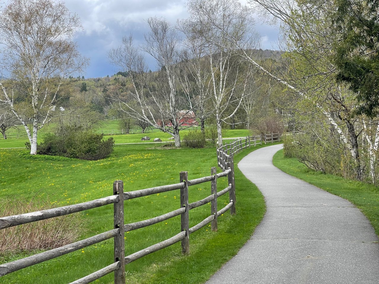
Yellow flowers indicate spring time. It won't be long before this view is dominated by tall corn growing in front of the red barn.
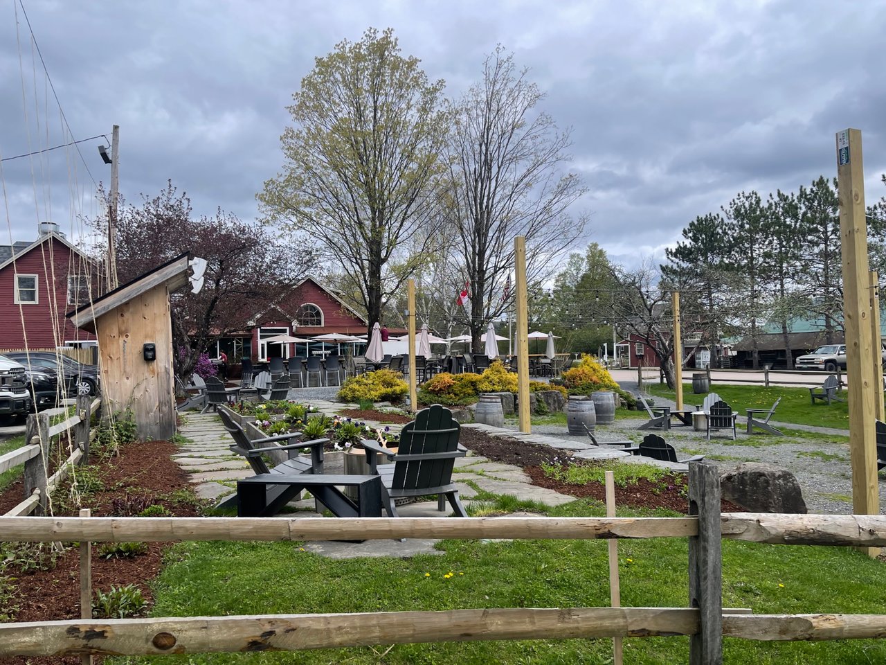
It was a still a little early for Idletyme Brewery to get busy, but this is a wonderful spot to walk to and have a burger and beer.
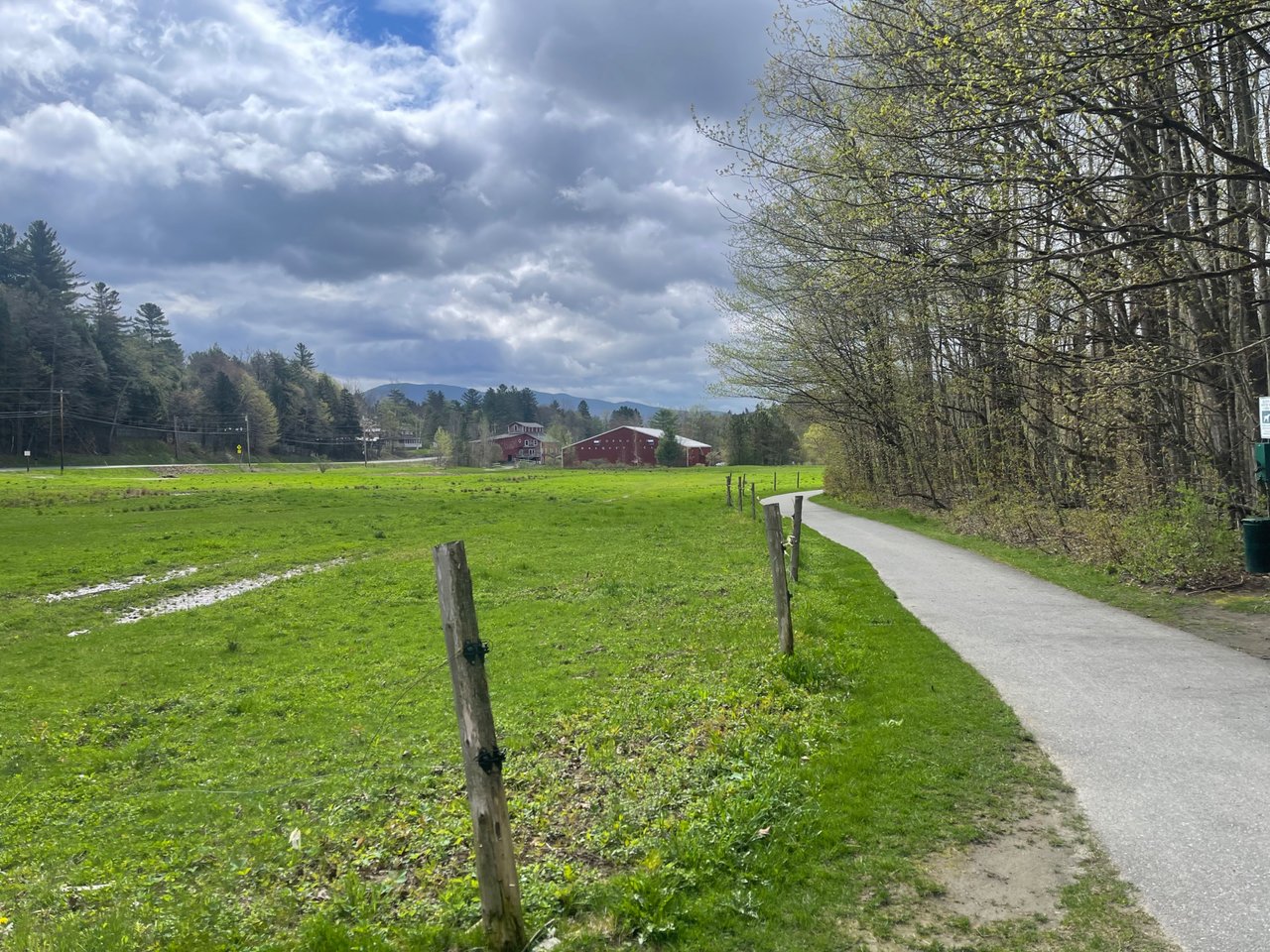
This is the view from the very beginning of the Stowe Rec Path. Another 5 miles to town!
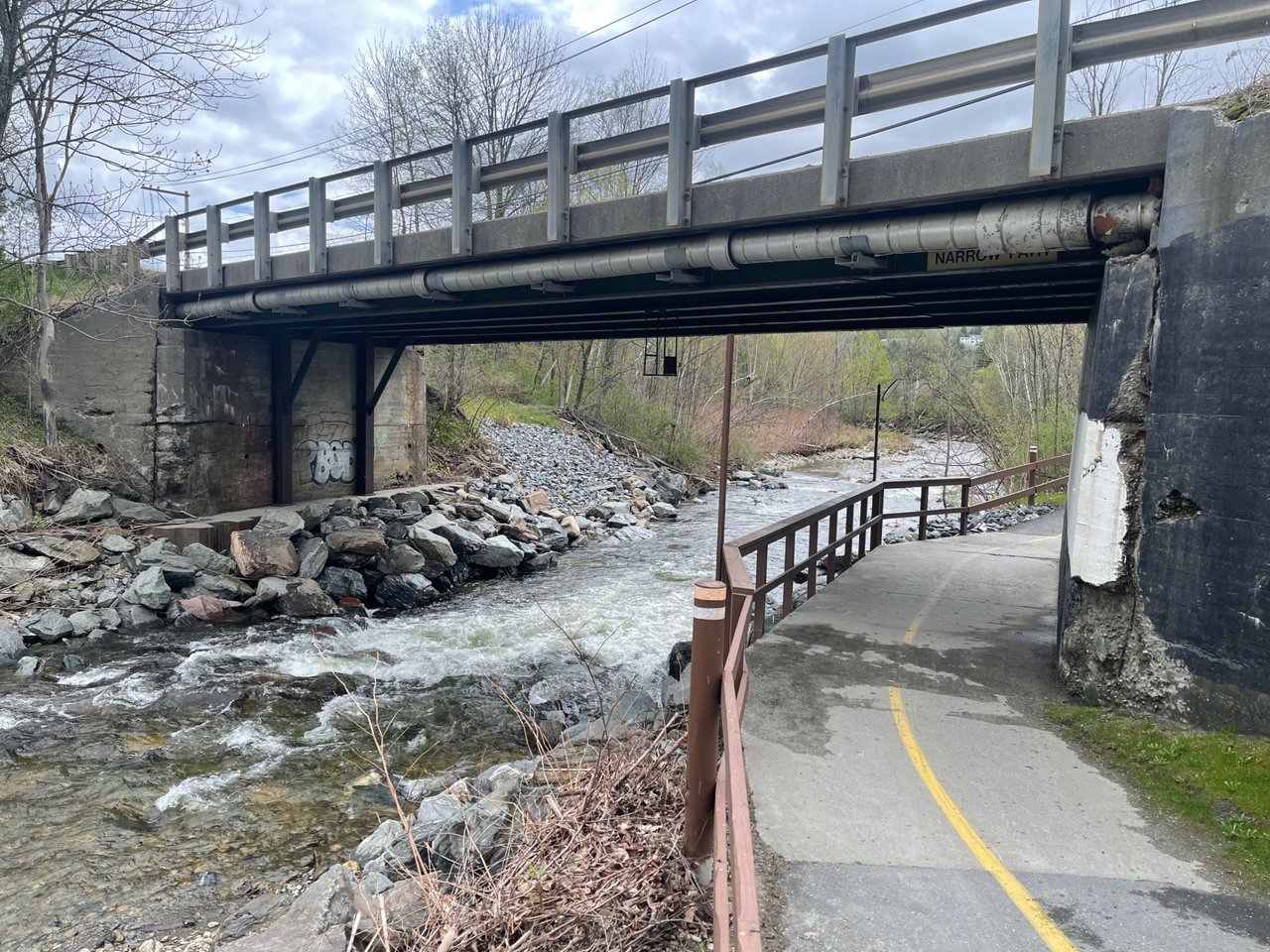
This is the one very narrow, blind corner on the Rec Path. You have to watch out for oncoming bikers. You can't even hear them because of the rapids in the river.
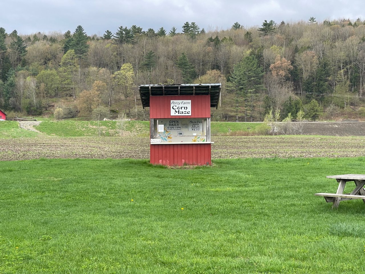
Corn will start growing soon, and by the end of summer this will be a wonderful corn maze.
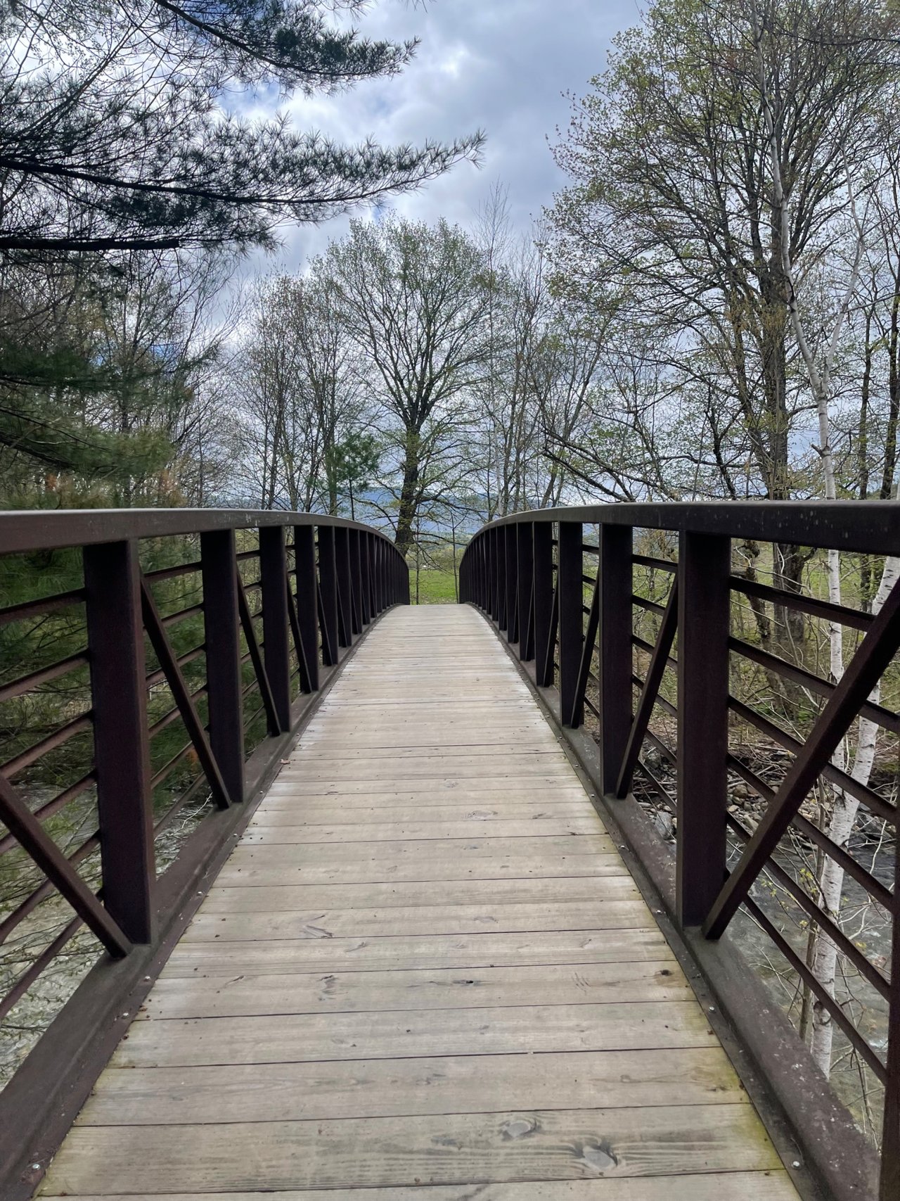
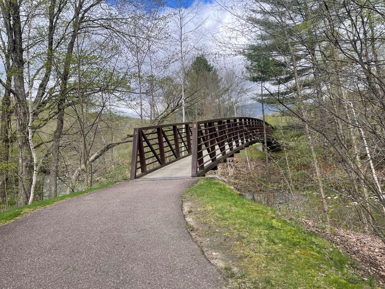
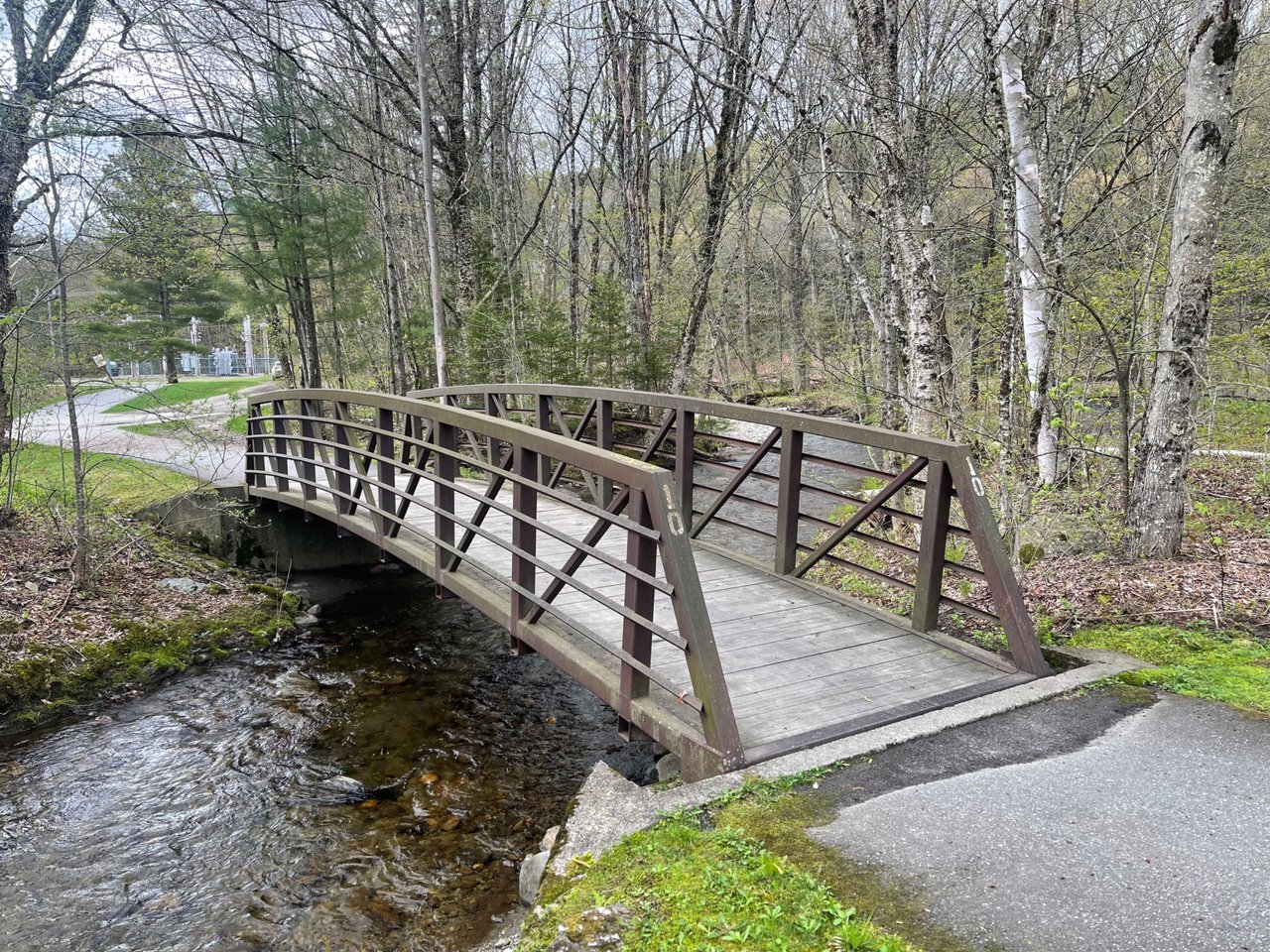
The Rec Path crosses the river 9 or 10 times. Each crossing has a numbered bridge like this.
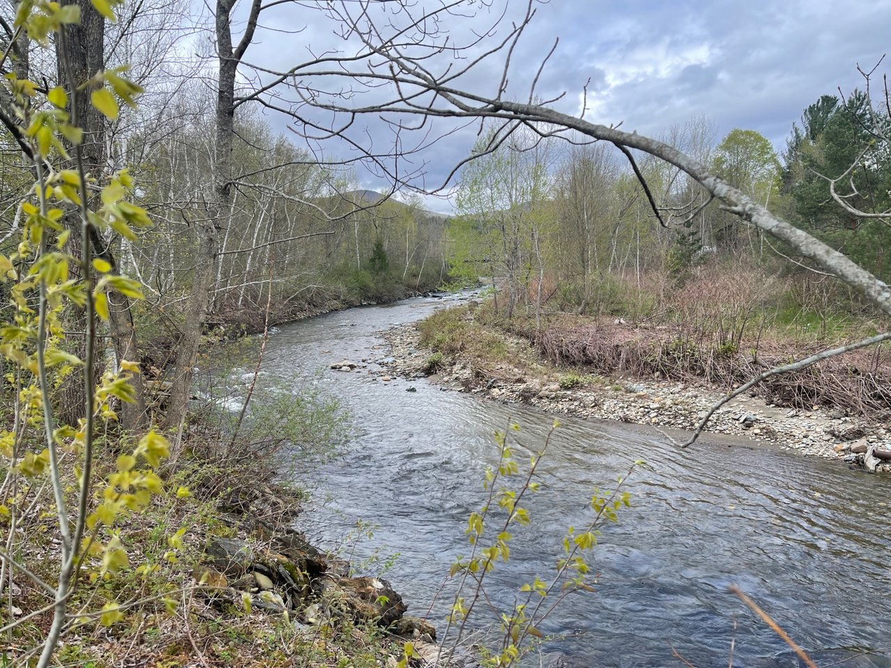
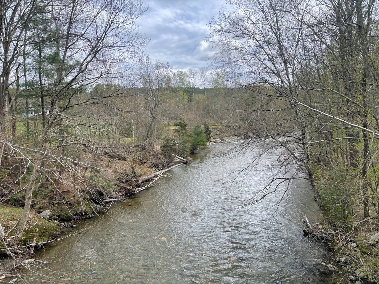
The West Branch River.
Another bend in the river. View from on of the bridges.
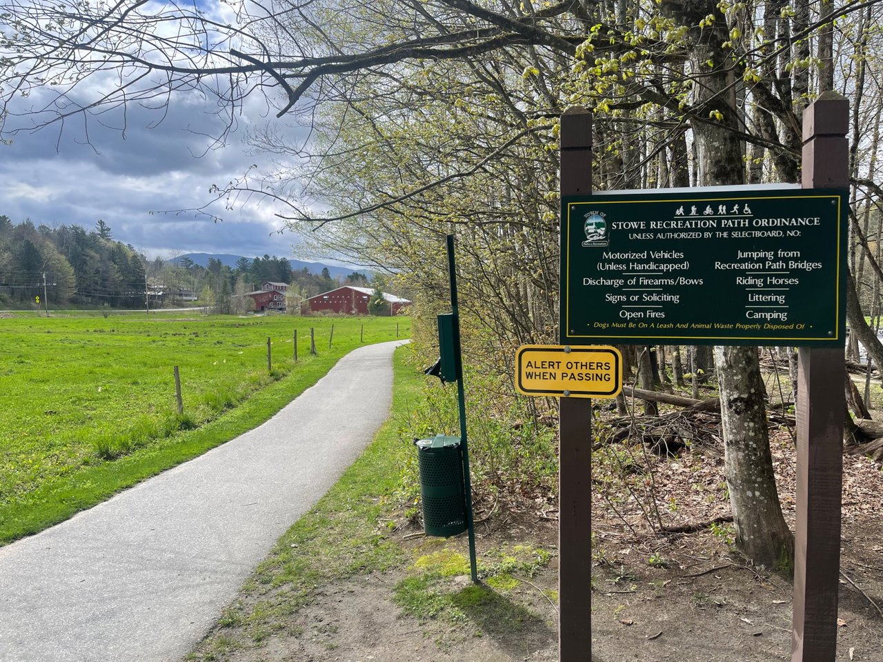
No motorized vehicles allowed. There is cross country skiing in the winter!
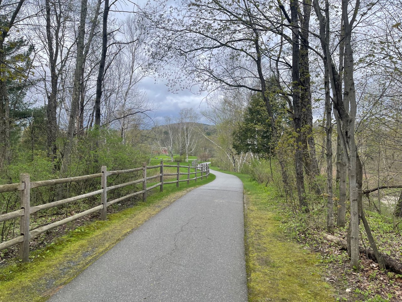
There is a different view around every corner.
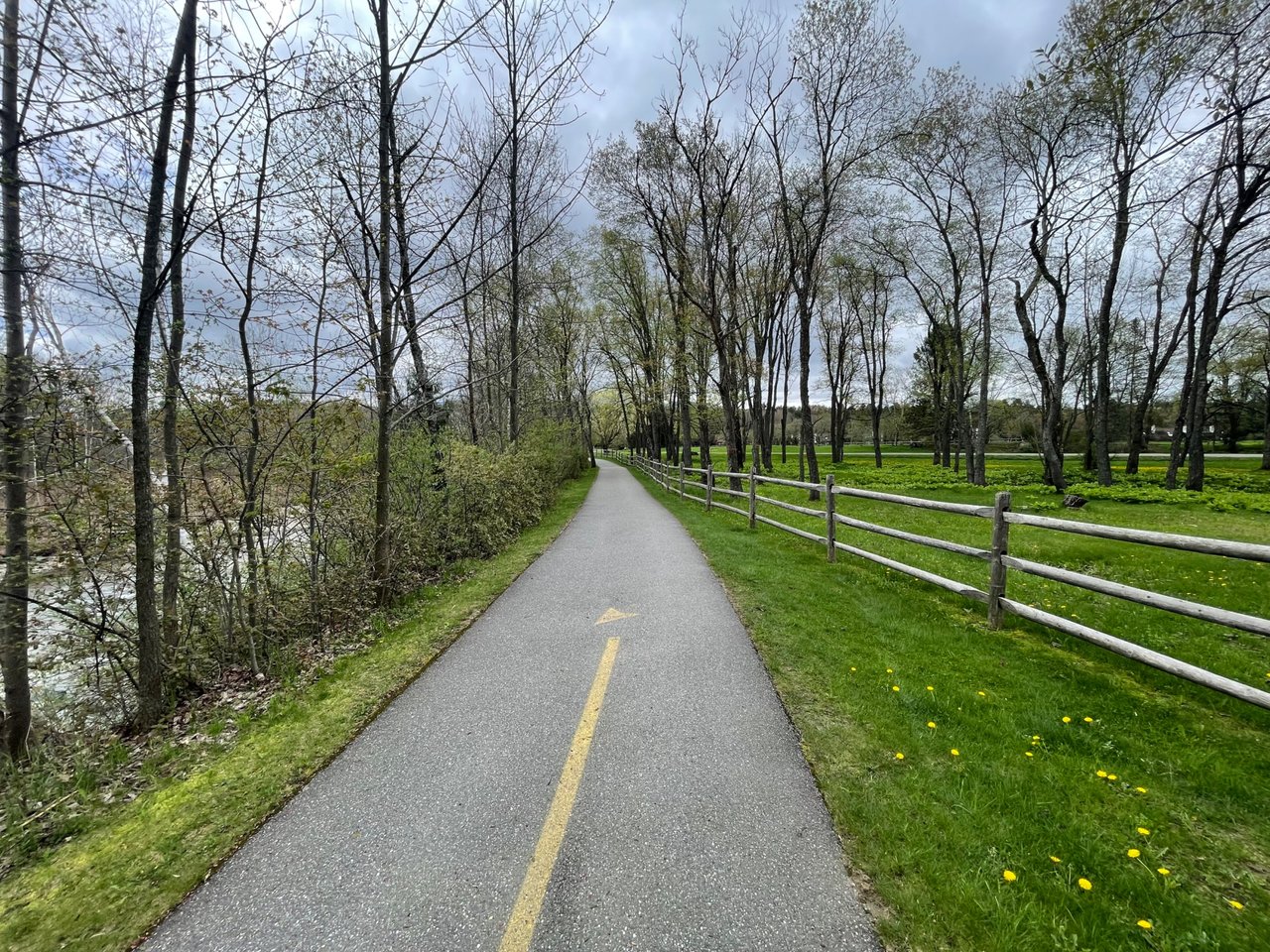
Lots of leading lines in this photo.
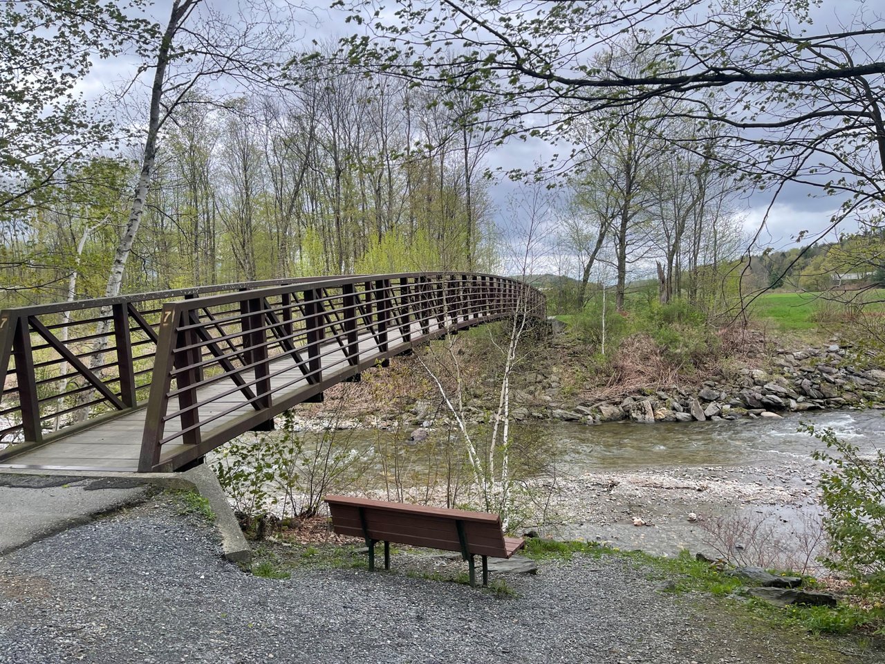
If you need a resting spot, or just want to take in the peaceful scene, there are benches like this set up all along the path and river.
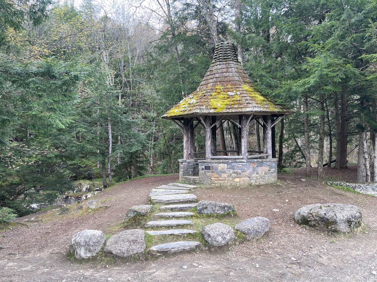
This is the only gazebo on the trail, and it is pretty far from town. I love the moss growing on top and the stone stairway leading up to it.
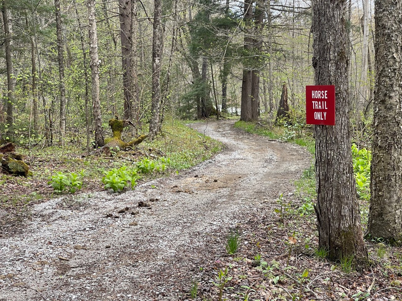
Not a bad place to horseback ride. They even do horse-drawn sleds in the winter.
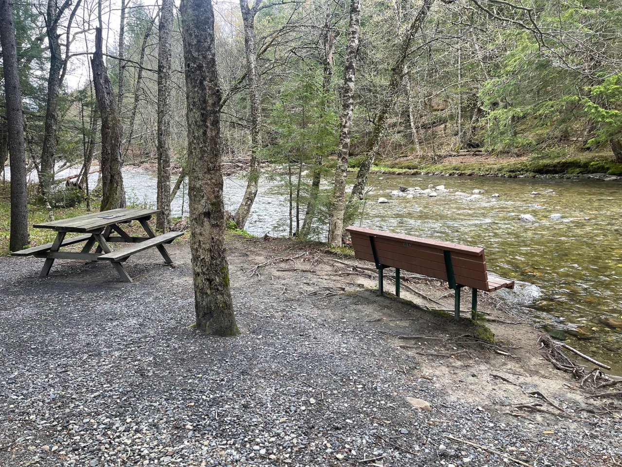
Picnic or bench, take your pick.


Comments
Post a Comment
Leaving a comment is a great way to provide feedback, ask further questions, and inspire more answers...so go for it.